
Hetta–Pallas – A long-distance hike through fell country
The Hetta–Pallas Trail is one of Finland’s best-known multi-day hikes. The approximately 50-kilometre route crosses the fell range from the village of Hetta in Enontekiö to Pallastunturi, and can also be hiked in the opposite direction. The marked trail was established in 1934 and now runs through Pallas-Yllästunturi National Park. Unlike a circular hike, it connects two starting and finishing points that are some distance apart. Planning therefore involves not only walking times but also overnight stays and transport between the two places. The landscape is part of the national parks of Finnish Lapland.
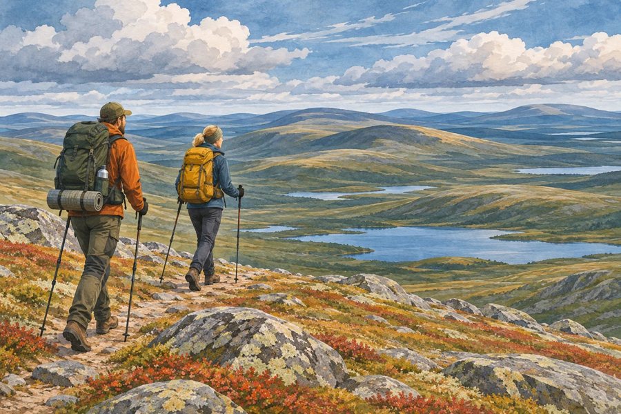 KI-generierte Illustration: Zwei Trekkingreisende auf einem offenen Fjällrücken mit Blick auf Seen.
Photo: Max-TD / OpenAI
Across Ounastunturi to Pallastunturi
At the northern trailhead in Hetta, reaching the route first involves crossing Lake Ounasjärvi. Local operators offer boat transfers; the lake crossing is not included in the hiking distance. On the other side, the trail passes through forest before climbing into the open landscape of the Ounastunturi fells. Along the way are Pyhäkero, the plateau around Ounastunturi, and the valleys of the fell range. The path alternates between rocky, sometimes root-covered sections, bog crossings, and broad, sparsely wooded uplands. There are huts and rest areas in the valleys. In the southern section, the route continues via Hannukuru, Montell, and Nammalakuru towards Pallastunturi. The succession of climbs, long traverses, and descents makes the route challenging, even if the total distance may seem manageable for a multi-day hike.
The open fell sections offer a different hiking experience from Oulanka’s sheltered forest trails: the views stretch far into the distance, but hikers are also more exposed to wind and weather. Temperatures, visibility, and wind can change quickly. Warm, waterproof clothing, a map, and navigation equipment are therefore essential. In fog or strong winds, the terrain is harder to read than the distinct ridgelines in a fair-weather photograph might suggest. The route length and distances between huts should suit your fitness level; this is not a short walk between two villages.
Huts and planning your stages
Several huts and rest areas lie along the route, often about ten kilometres apart. These include Pyhäkero, Sioskuru, Hannukuru, Montell, and Nammalakuru. Facilities vary: some huts are open for communal use, while others offer reservable sleeping places. At open wilderness huts, hikers share the space and leave the hut tidy for those arriving after them. Reservable huts should be arranged well in advance; the national park authority recommends booking sought-after sleeping places many months ahead. Bringing a tent gives you more independence, but choose your campsite in accordance with local conservation and camping regulations.
The route is often divided into several daily stages; the length of each stage depends on fitness, weather, and the accommodation booked or available. The most reliable approach is to plan from hut to hut using the current map rather than relying on generic daily itineraries. Fires and cooking are subject to the rules for each rest area. A rule change announced in 2026 will not take effect until summer 2027: from then on, fires at rest-area fire pits along the trail are to be permitted only inside huts and kotas. Until then, the existing local rules apply. The article on Finland’s climate provides an overview of the country’s climate and seasons.
Trailheads, finish points, and hiking season
Hetta lies in northern Enontekiö, while Pallastunturi is farther south, in the Muonio area. Since the trail is not a loop, transport to and from the two endpoints needs to be coordinated. Buses connect Hetta with Kolari railway station; a bus from Muonio to Pallastunturi continues on to Hetta. Services and seasonal schedules change, so travellers should arrange a suitable connection for their specific dates. Those hiking the route in the opposite direction can use the same transport network, but must also plan their return journey from the other endpoint.
According to the park’s recommendations, the best hiking season runs from late June to mid-October. In early June, the ground on the fell slopes is often still wet and particularly susceptible to erosion. Snow can linger on the heights in Lapland after it has melted in the villages; in summer, hikers may encounter wet boggy areas and changeable mountain weather. Autumn colours make the fells especially appealing, but the days grow shorter quickly. The overview of Finland’s national parks provides context on protected areas, while the article on hiking in Finland introduces other routes. Hetta–Pallas is especially suited to hikers who want to experience open fell landscapes, overnight stays in huts, and varied elevation profiles on a clearly marked long-distance trail.
